




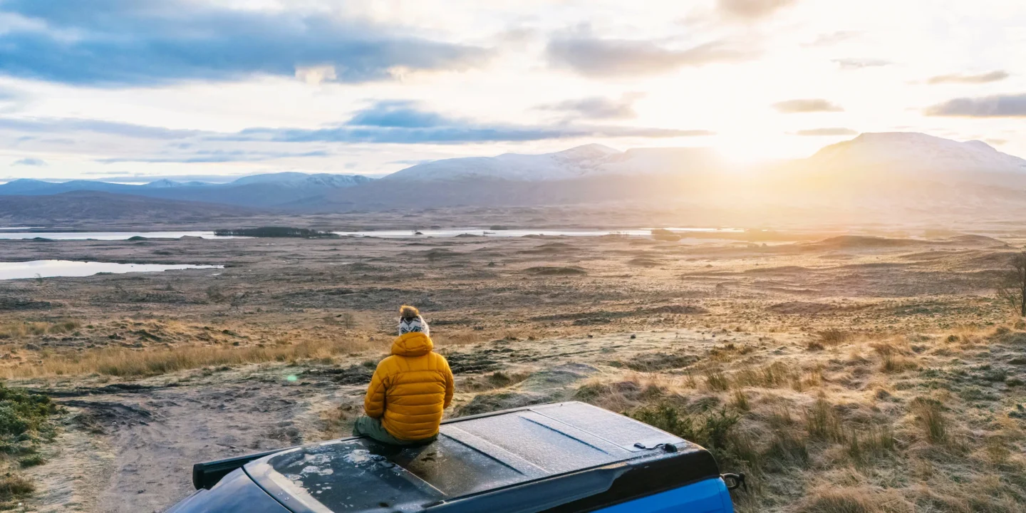
Maps represent fundamental tools connecting abstract geographical information with real-world terrain, enabling navigation, planning, and understanding of landscapes. Whether hiking remote trails, exploring unfamiliar cities, or planning extended expeditions, map reading competency proves invaluable. Modern technology introduced GPS and digital navigation, yet traditional map skills remain essential—technology fails, batteries deplete, and signal vanishes in remote areas. Understanding how to interpret maps, identify landmarks, orient yourself, and navigate using only map and compass provides independence and confidence in outdoor pursuits. Comprehensive mapping resources provide detailed, accurate maps supporting navigation across all terrains and conditions.
Understanding Map Components
Maps communicate through standardised symbols, colours, and patterns representing terrain features. Contour lines indicate elevation changes—closer lines mean steeper slopes while widely-spaced lines suggest gentler gradients. Colours typically represent features: blue for water, green for vegetation, brown for contours, black for human structures. Scale bars allow distance estimation between points. Grid systems enable precise location referencing. Legend explains all symbols specific to each map type. Topographic maps display terrain details including elevation, water features, vegetation, and human infrastructure. Road maps emphasise transportation routes. Nautical charts show water depths and hazards for maritime navigation. Understanding your map’s purpose and legends prevents misinterpretation.
Orientation: Aligning Map to Terrain
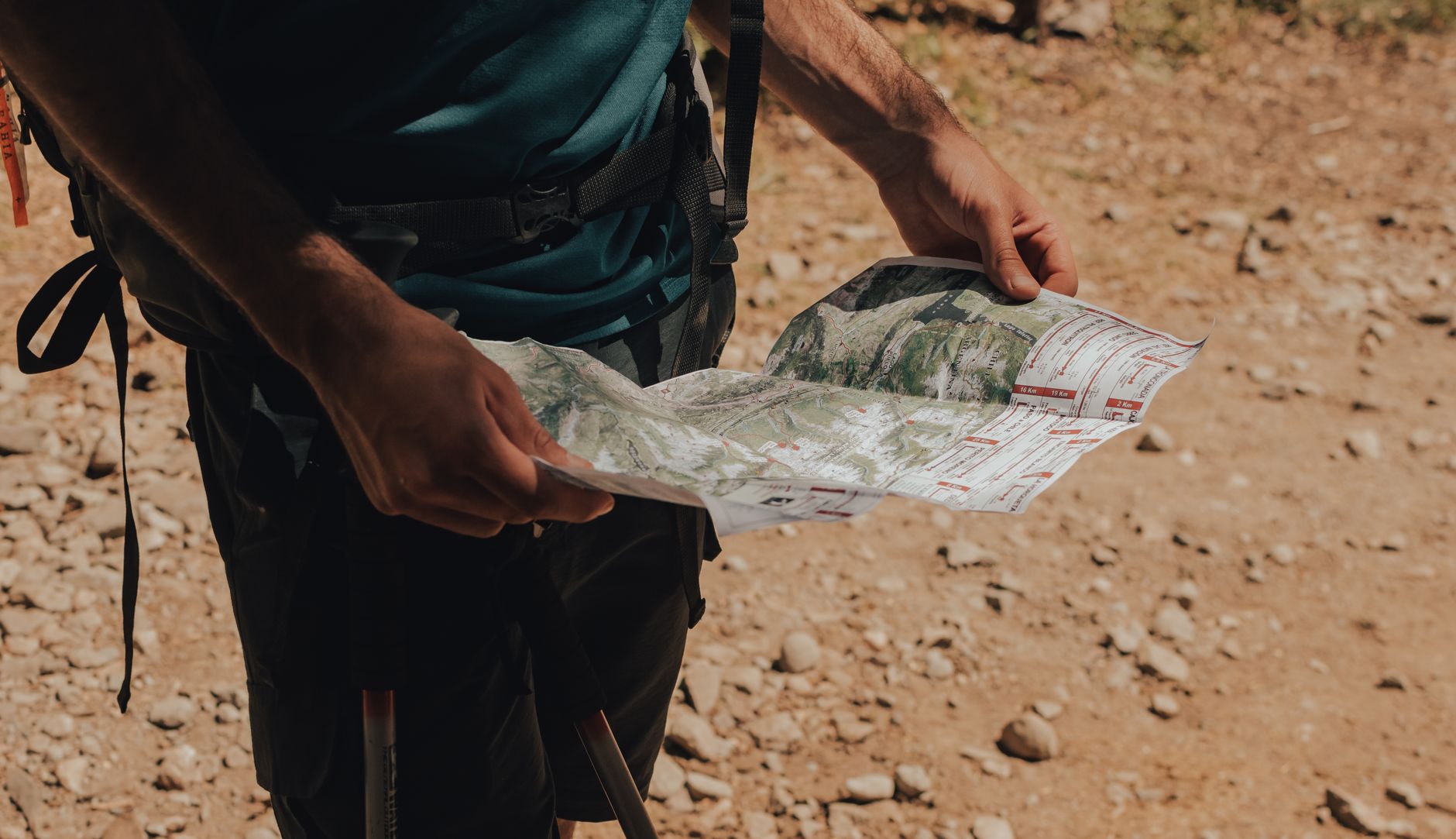
Maps conventionally orient with north pointing upward, yet holding maps this way while standing on terrain creates confusion when facing different directions. Proper orientation means rotating your map until landscape features visible ahead align with symbols on the map. North-pointing map edges then face true north. Landmarks—mountains, church steeples, distinctive buildings—provide orientation references. Once map properly orients to terrain, left, right, forward, and backward on the map match actual directions, transforming abstract lines into recognisable landscape.
Using Compass with Maps
Compasses indicate magnetic north, slightly different from true north due to Earth’s magnetic variation. Quality maps show magnetic variation for specific locations. Compass baseplate’s edge aligns with planned travel route; rotating the compass housing until orienting lines align with map grid lines enables reading precise bearings. Holding compass level and rotating your body until the orienting arrow aligns with compass needle shows your heading. Practising this technique—bearing-to-compass—enables following planned routes even through featureless terrain or poor visibility. Understanding declination (difference between true and magnetic north) prevents consistent navigation errors.
Identifying Landmarks and Features
Matching visible terrain to map symbols transforms maps from abstract documents into useful guides. Mountains, water bodies, forests, and human structures appear on maps as recognisable symbols. Elevation information from contour lines confirms whether distant peaks match expected heights. Distinctive features—radio towers, unique rock formations, unusual vegetation patterns—provide reliable orientation points. Triangulation using three recognisable landmarks pinpoints your exact location even without clear path markings. Building these observation skills requires practice but dramatically improves navigation confidence.
Route Planning Using Maps
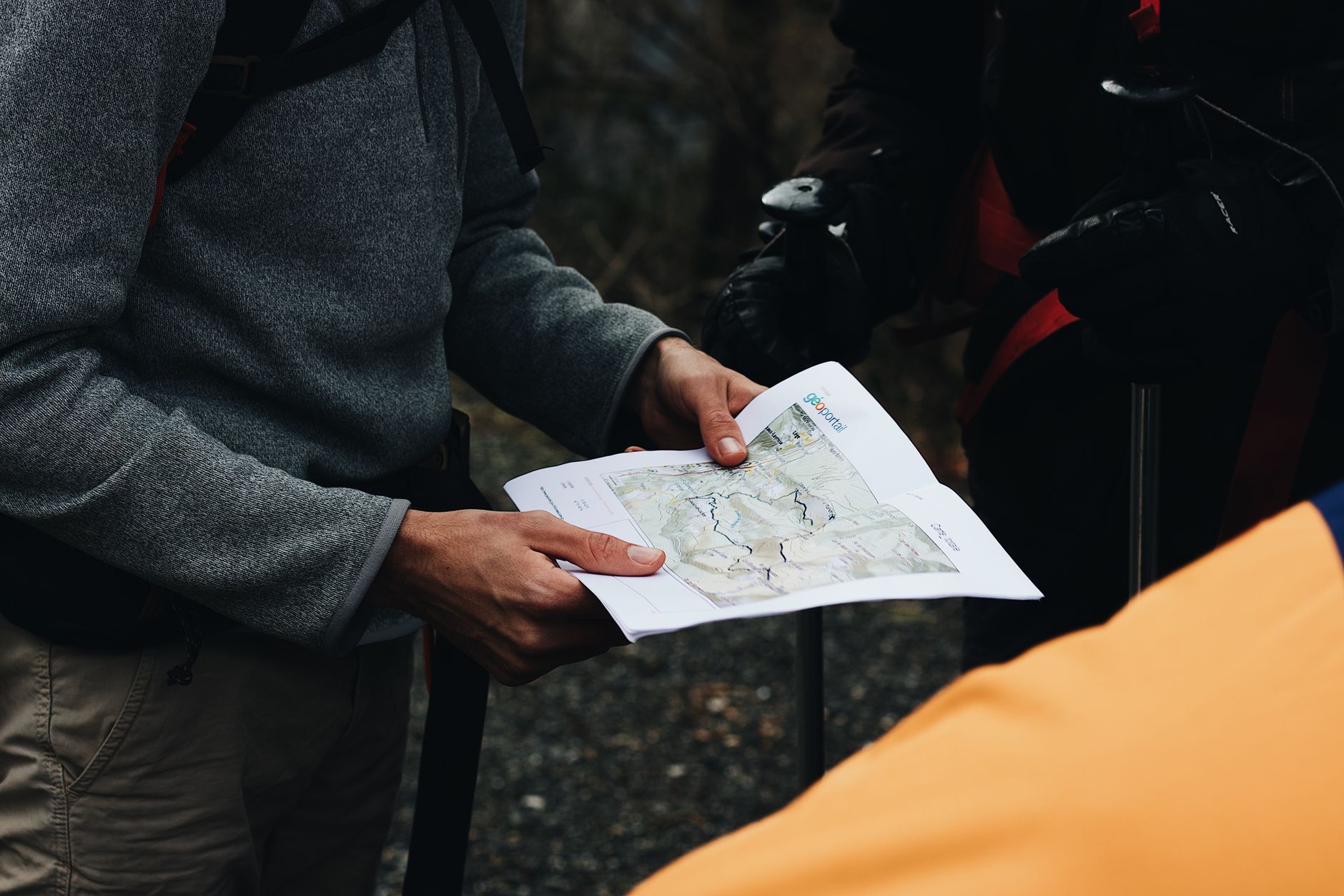
Before outdoor expeditions, careful map study prevents surprises during travel. Identify major terrain features along planned routes—mountains blocking direct paths, water crossings, steep sections. Mark waypoints—intermediate destinations—providing navigation structure. Estimate distances using map scale bars, then add time estimates considering terrain difficulty and personal fitness. Identify escape routes allowing retreat to safety if conditions deteriorate. Note water sources, shelter locations, and hazardous areas. Starting with simpler routes on familiar terrain builds skills progressively. Detailed mapping resources support thorough route planning preventing navigation surprises.
Distance and Time Estimation
Maps provide distance information; converting this to realistic travel time requires understanding terrain and personal capability. Flat terrain at comfortable pace typically allows 4-5 km per hour. Steep climbs reduce speed dramatically—expect 1-2 km per hour on steep uphill. Rough terrain, poor visibility, and heavy loads further slow progress. Adding contingency time—typically 20% extra—accounts for breaks, photo stops, and unexpected challenges. Experienced outdoors people develop accurate pace estimates through experience. Starting conservatively prevents overambitious plans causing exhaustion or dangerous decisions.
Elevation Profiles and Terrain Assessment
Contour line spacing reveals terrain steepness; closely-spaced lines indicate steep sections while widely-spaced lines show gradual slopes. Studying elevation profiles—graphs showing height changes along routes—prevents surprises during travel. Routes appearing short on maps may involve significant elevation gain requiring disproportionate time and effort. Understanding terrain difficulty helps match challenges to ability, ensuring enjoyable rather than dangerous experiences. Beginners should avoid terrain with minimal contour spacing until developing strength and technique.
Map Types for Different Activities
Topographic maps suit hiking and mountaineering, showing terrain detail essential for route planning. Road maps emphasise highways and cities, useful for vehicle navigation though lacking terrain detail. Nautical charts show water depths, currents, and hazards for marine activities. Ski maps indicate slopes and facilities on snow-covered mountains. Geological maps reveal rock types and formations. Selecting appropriate map types for planned activities ensures having necessary information. Carrying multiple map types for complex expeditions provides comprehensive information.
Modern Navigation While Preserving Traditional Skills
GPS devices and smartphone applications provide convenient navigation, yet relying exclusively on technology creates vulnerability when batteries die or signals vanish. Experienced navigators use technology while maintaining map and compass skills as backup. Practising traditional navigation even when carrying GPS devices maintains skills, builds confidence, and enables navigation if technology fails. Teaching children traditional navigation develops independence and reduces technology dependency, fostering genuine outdoor competence.
Building Lifelong Navigation Confidence
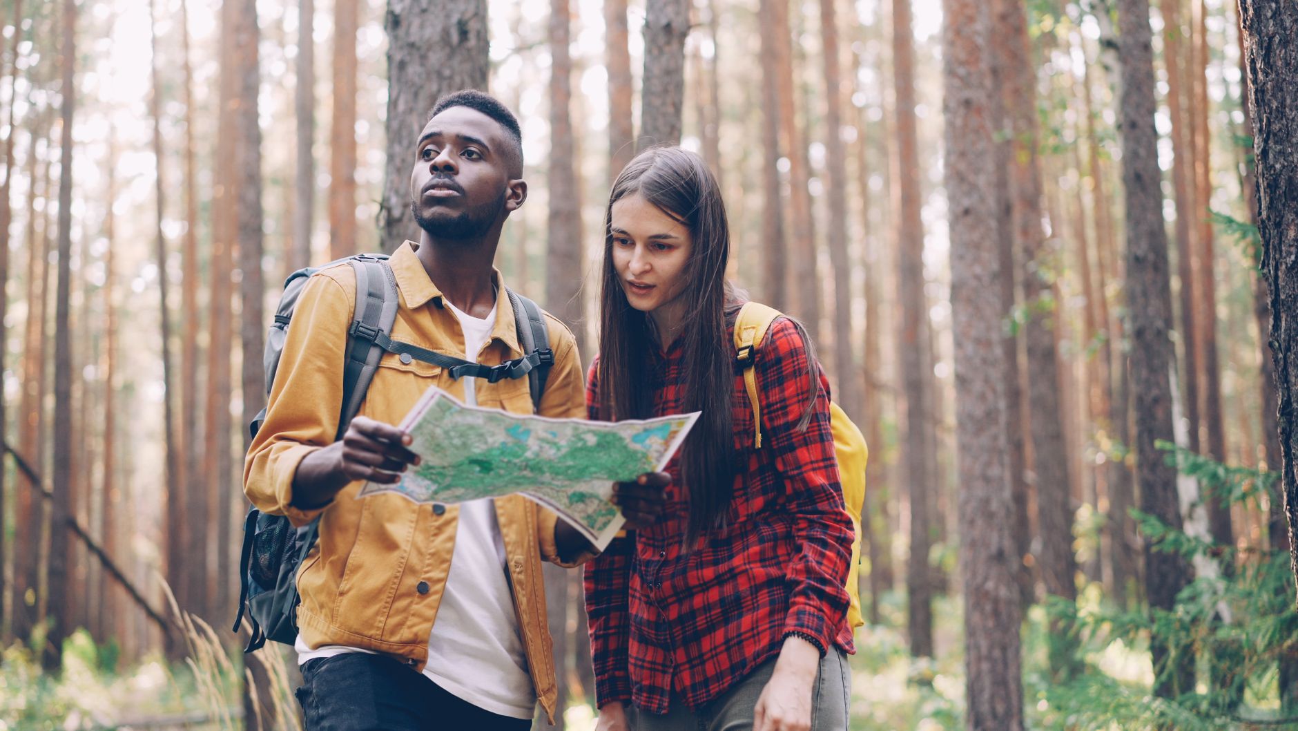
Map reading represents learnable skill developing through practice and experience. Starting with short, familiar routes builds confidence before attempting challenging terrain. Regularly practising navigation techniques maintains skill and prevents rustiness. Exploring new areas systematically extends confidence progressively. Comprehensive mapping resources support developing navigation expertise enabling confident exploration across all terrains.