




Maps serve as gateways to exploration, transforming unfamiliar territories into conquerable destinations. Whether discovering hidden corners in new cities, planning countryside walks, or launching wilderness expeditions, maps empower informed exploration. Comprehensive planning using detailed maps prevents disorientation, enables efficient routing, and identifies points of interest maximising enjoyment. Understanding terrain, distance, and surrounding features through maps builds anticipation while preventing surprises that could transform adventures into misadventures. Detailed mapping resources enable detailed planning transforming ideas into well-executed adventures.
Urban Exploration with Street Maps
Cities prove easier navigating with maps than relying exclusively on memory or random wandering. Street maps show neighbourhoods, major attractions, public transport routes, and landmarks enabling efficient movement. Historical maps reveal how cities changed over time, adding context to current street layouts. Studying maps before visiting unfamiliar areas prevents getting hopelessly lost while building mental models of street patterns. Marking points of interest—museums, restaurants, parks—on maps creates comprehensive guides maximising enjoyable discoveries. Walking tours guided by maps often reveal charming areas missed by rushing between famous attractions.
Rural and Countryside Navigation
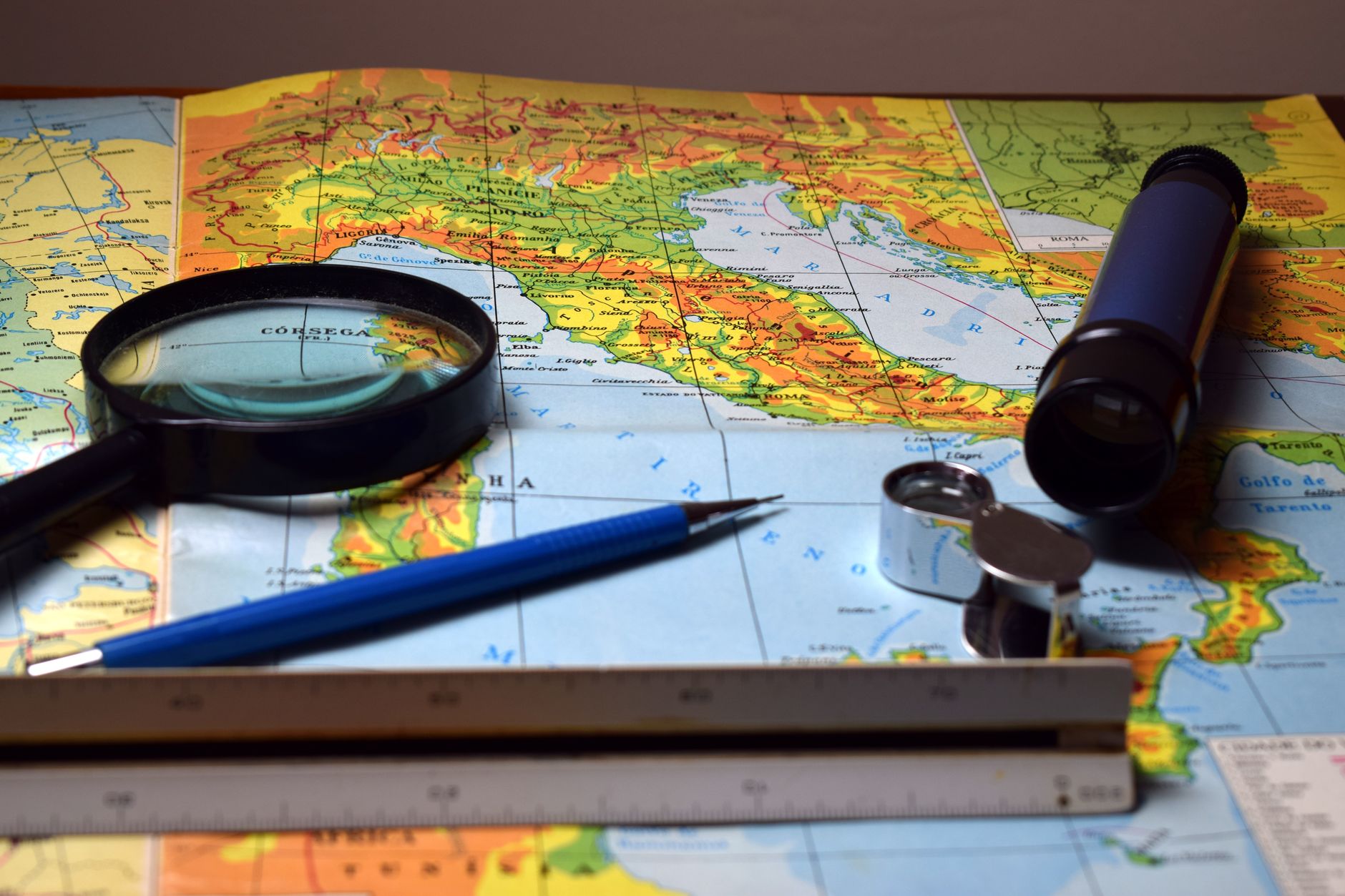
Countryside walks require different map skills than urban exploration. Contour lines indicate terrain difficulty; steep sections mean shorter distances require more time and effort. Water crossings, forest passages, and moorland transitions appear clearly on topographic maps enabling route planning. Public footpaths clearly marked on maps prevent trespassing on private land. Identifying water sources and shelter locations ensures comfort during extended walks. Understanding soil type, vegetation, and drainage helps predict terrain conditions—boggy areas may require detours while rocky terrain offers secure footing. Maps transform countryside walks from wandering uncertainly to purposeful exploration.
Backcountry and Wilderness Planning
Serious wilderness expeditions demand meticulous planning using detailed maps. Identifying routes avoiding avalanche terrain, unstable terrain, and dangerous water crossings prevents life-threatening mistakes. Water sources, camp locations, and emergency exit routes require careful consideration. Understanding seasonal variations—snow coverage, water levels, weather patterns—from map study prevents inappropriate timing. Route alternatives addressing changing conditions ensure flexibility responding to unforeseen challenges. Detailed map study combined with weather forecasts and condition reports creates realistic plans balancing ambition with safety.
Discovering Points of Interest
Maps identify features enhancing enjoyment beyond simply reaching destinations. Historical sites, viewpoints, natural wonders, and unusual geological features marked on maps add purpose to travels. Following routes highlighting specific interests—historical sites, geological formations, wildlife viewing areas—creates themed explorations. Maps often mark less-visited alternatives to famous attractions, rewarding curious explorers with quieter, often more rewarding experiences. Understanding what exists along routes enables deliberate detours towards points of interest.
Understanding Seasonal Variations
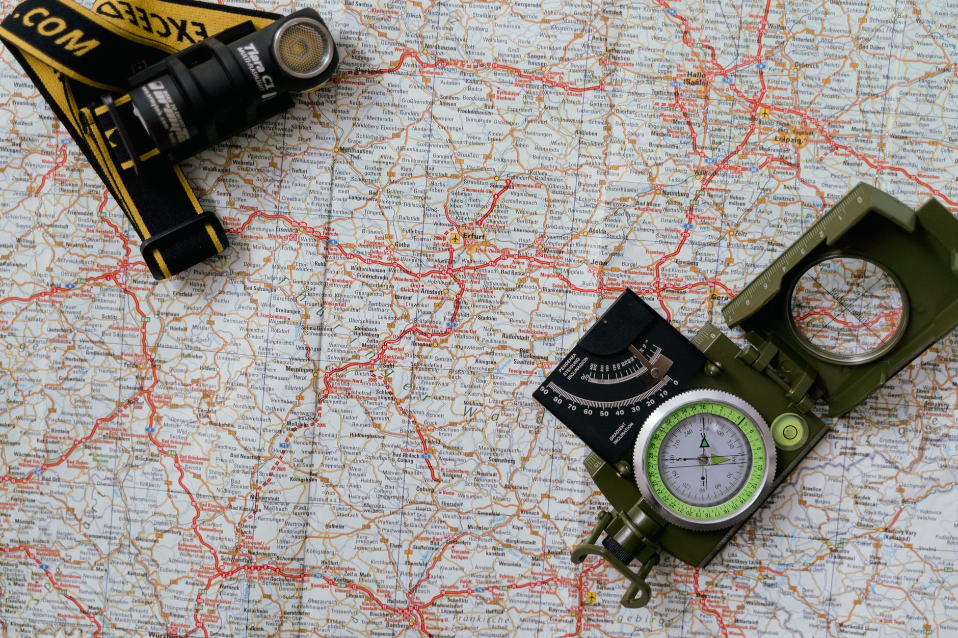
Maps remain constant while terrain changes dramatically across seasons. Winter snow covers identifying features, makes navigation more difficult, and creates avalanche hazards in mountainous terrain. Spring flooding transforms peaceful streams into dangerous torrents. Summer sun creates dehydration risks while winter cold threatens hypothermia. Autumn muddy conditions slow travel significantly. Studying maps with seasonal knowledge enables appropriate planning—different routes suit different seasons, and unsuitable seasons require alternative destinations. Experienced adventurers match seasons to planned activities after map study.
Group Expedition Planning
Group expeditions require detailed planning ensuring all participants understand routes, objectives, and contingency plans. Shared maps and briefings prevent misunderstandings. Identifying leadership roles—navigation responsibility—ensures one person constantly navigates rather than assuming everyone follows without understanding. Establishing communication protocols addresses situations where group separates unintentionally. Marking rest points, water sources, and shelter locations on shared maps ensures everyone knows critical locations. Group discussions about weather, changing conditions, and decision-making establish realistic expectations before challenges arise.
Emergency Preparedness Through Planning
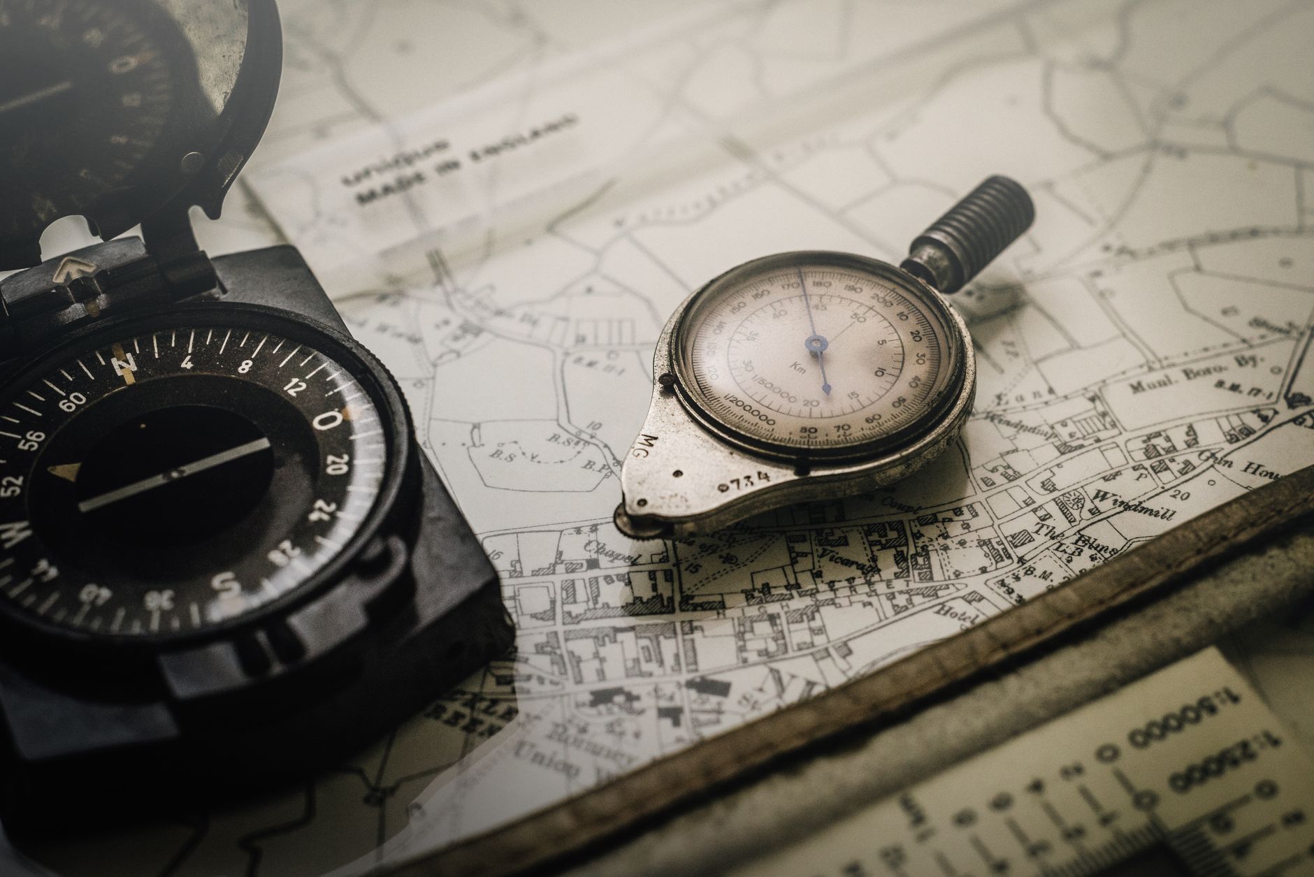
Map study enables identifying escape routes if expeditions become dangerous. Understanding terrain surrounding planned routes ensures reaching safety efficiently if weather deteriorates, injury occurs, or other emergencies develop. Marking possible shelter locations provides options responding to unexpected situations. Knowing nearby roads or settlements enables extraction if necessary. Planning conservative routes with safety margins prevents desperation-driven risky decisions when challenges arise. Comprehensive mapping resources support detailed planning transforming emergencies from catastrophes into manageable situations.
Technology Integration Without Losing Map Skills
Digital maps and GPS devices provide convenience, yet relying exclusively on technology proves risky. Carrying paper maps as backups ensures navigation capability when batteries fail. Using both technology and traditional maps creates redundancy—if one fails, the other enables continuing safely. Teaching participants traditional map skills ensures everyone can navigate even if technology proves unreliable. Understanding map limitations—paper maps don’t provide real-time updates of trail conditions—while appreciating capabilities creates balanced approach maximising benefits of both systems.
Building Confidence Through Preparation
Detailed map study builds confidence before ventures into unfamiliar terrain. Understanding routes, distances, terrain difficulty, and potential challenges prevents anxiety about unknown situations. Visualising routes while studying maps creates mental preparation complementing physical training. Realising familiar landscapes on maps connects abstract planning to real experience. Starting with simpler routes builds skills progressively. Reviewing past adventures on maps strengthens understanding of terrain-map relationships. Mapping resources support building adventure confidence through thorough, informed planning.

Luca Moretti is a global lifestyle writer with a passion for storytelling through travel, fashion, and urban exploration. Inspired by vibrant cities and timeless destinations, he creates content that reflects sophistication and curiosity. Luca’s work focuses on helping readers discover unique places, elevated experiences, and the art of living stylishly on the move.